
Theme Park Mobile App
A white-label mobile app that gives park guests one place for maps, schedules, information, and tickets.
About this project
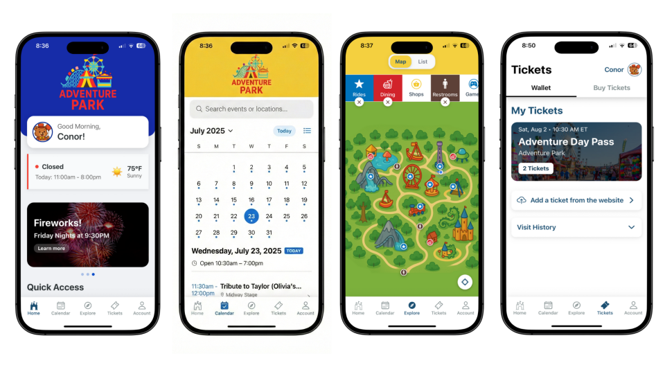
We consulted with several local theme parks, then designed a white-label mobile app and content management system around what they told us. Parks brand the app as their own and get the same core features: • Event calendar. Guests browse shows, attractions, and special events, filter them, and build their own schedule. • GPS interactive map. Real-time wayfinding helps guests find attractions, amenities, and their way around the park. • Push notifications. Parks send updates on wait times, weather, show changes, and offers. • Full content control. Park staff manage everything through the CMS without calling a developer. Built with React Native for iOS and Android, so a park can launch quickly and keep changing the app as it grows.
Want a version of this for your park or venue? Book a free call and we will walk you through a demo.
Tech stack
How GPS calibration works
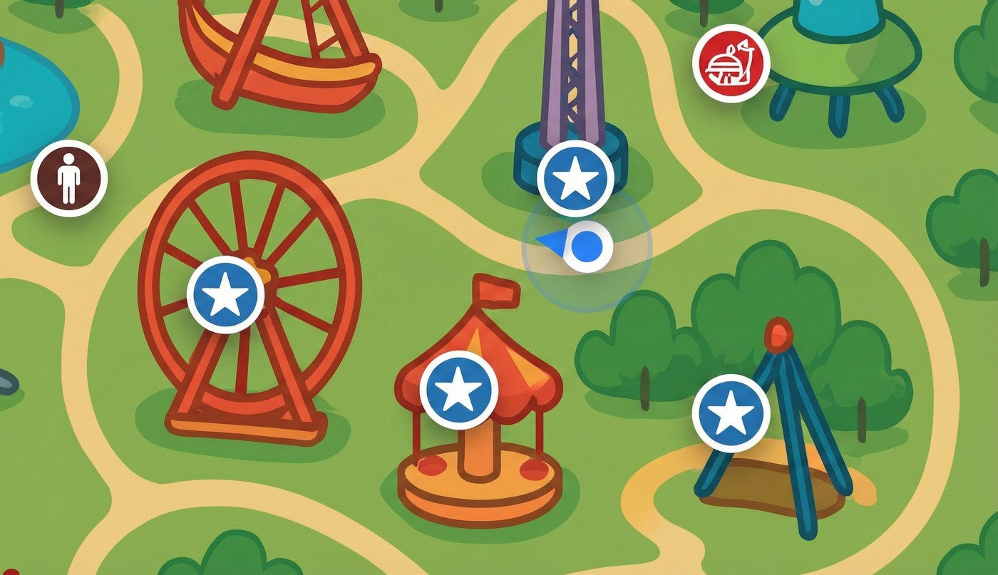
Park maps are drawn by hand, so they do not line up with real GPS coordinates. This service translates a guest's actual location into the right spot on the artwork, so the blue dot lands where they are standing.
Delaunay triangulation
We take known reference points around the park and connect them into a mesh of triangles. The Bowyer-Watson algorithm keeps those triangles even, which stops the map from distorting.
Barycentric interpolation
When a GPS reading comes in, the engine finds which triangle the guest is standing in and weighs the three corners to place them. That handles maps where distance does not scale evenly.
Inverse distance weighting
A second method weights nearby reference points by how close they are, so far-off points barely affect the result. It smooths out movement as a guest walks.
Convex hull extrapolation
If a guest walks past the calibrated area, the system estimates their position from the nearest triangle instead of snapping them to the closest point.
Polynomial regression
A best-fit curve across the whole park corrects maps drawn with heavy perspective or fisheye warping.
Want something like this?
Tell us what is taking too much time and we will figure out where to start.
Book a Free Call